Barnicoat
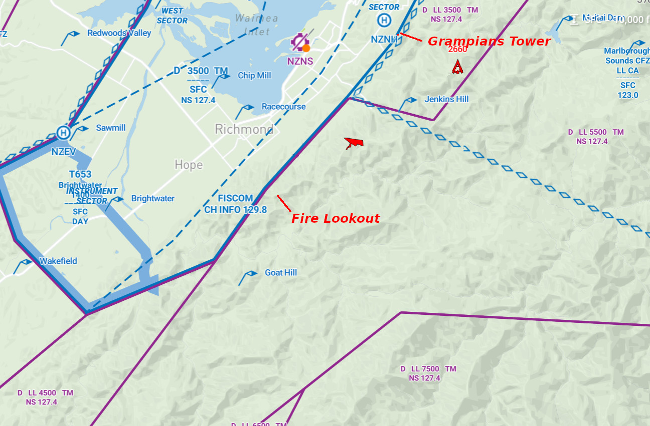
Barnicoat is the most popular and most sensitive site in the Tasman region. The official landing at Ngawhatu Sportsfield is in the Nelson Airport control zone. It is essential that any pilots wishing to fly this site complete the induction beforehand, and carry a correctly set altimeter and UHF radio while flying. It is also strongly advised that first flights be carried out in the presence of a local pilot who can discuss the particularities of the site with you as well as the conditions of the day.
GPS co-ordinates for launch -41.34322010035545, 173.253573910888 Barnicoat Launch
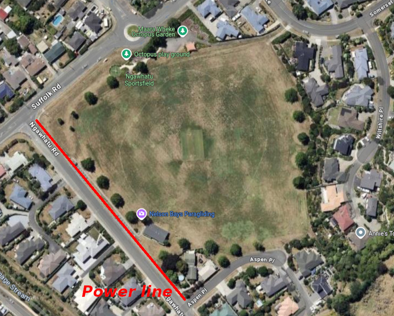
GPS co-ordinates for meeting place and landing (Ngawhatu Park) -41.32250898279254, 173.23277167601702 Barnicoat Landing (Octi)
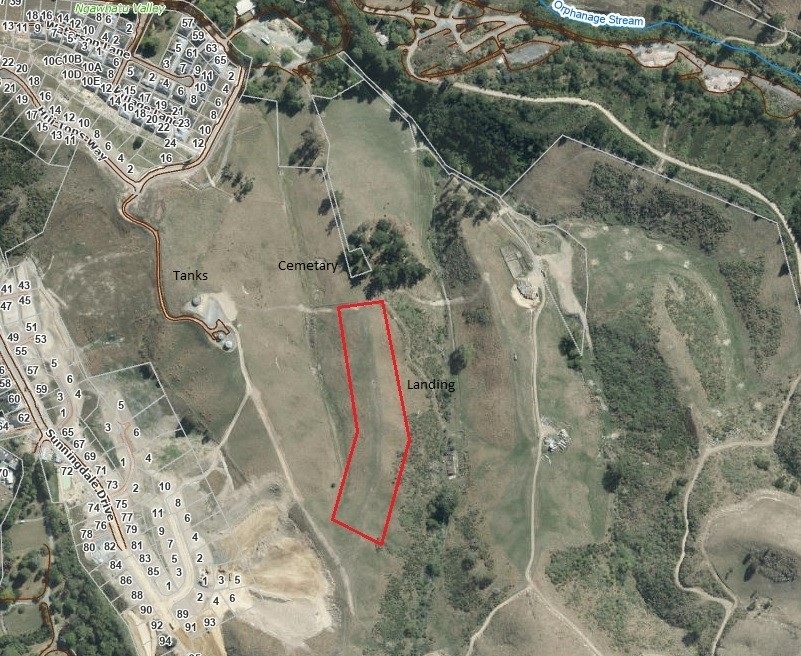
GPS co-ordinates for bombout -41.33218627271693, 173.24498520108938 Barnicoat Bombout
Elevation: 1980 feet AMSL (640 metres)
Airspace
Limited to 5,500ft AMSL above take off dropping to 3,500ft AMSL to the north. Controlled airspace to the west (see Special Instructions below).
Rating
Paragliding: PG1/PG2
Hang gliding: ?
Wind directions
NNW-NNE
Landing Zones
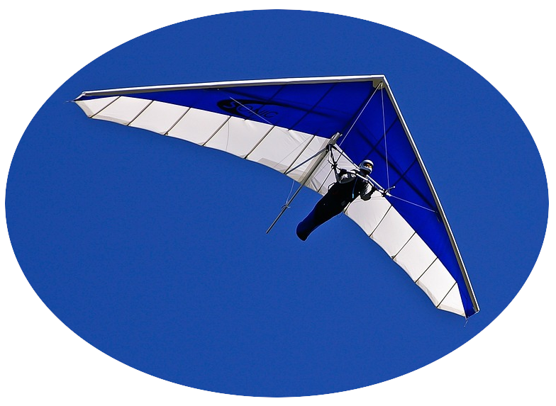
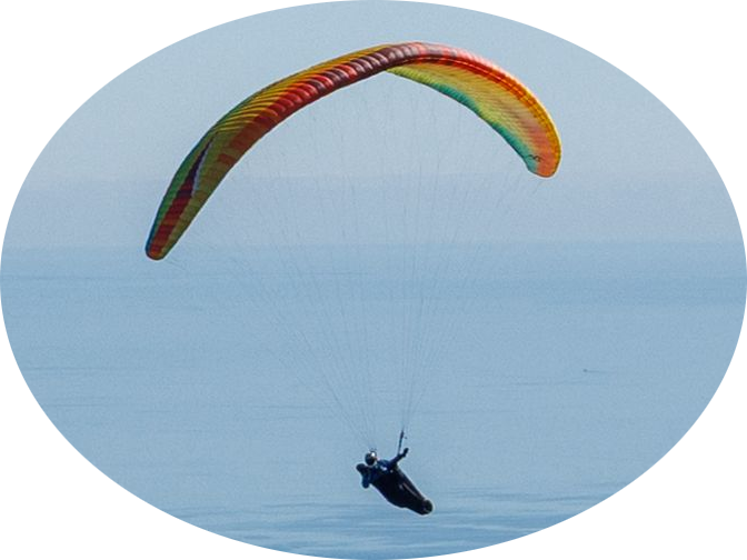
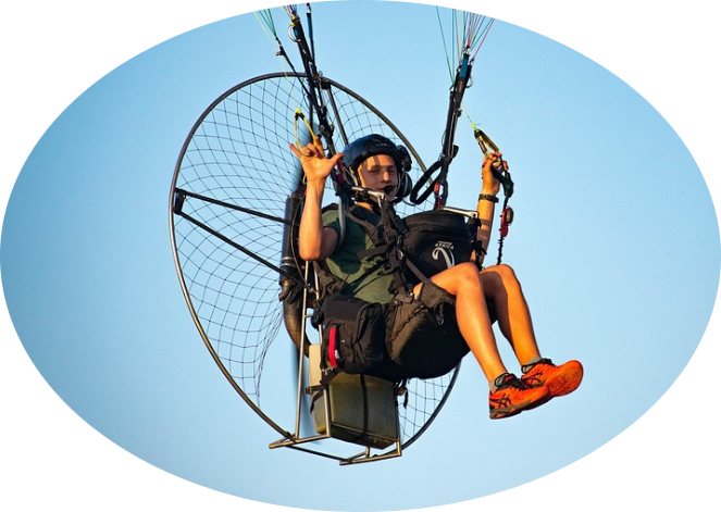
Paragliders and low performance hang gliders may choose to land at Ngawhatu Sportsfield after completing this online induction.
As Ngawhatu Sportsfield is inside the Nelson Airport control zone pilots must comply with the memorandum of understanding as described in the special instructions below and the online induction. .
Bombout is on the ridge line at the base of the hill below launch.
Dangers
Strong valley wind/sea breeze in summer.
High voltage power lines on the hill close to Ngawhatu Sportsfield LZ when approaching.
Limited landing options over the back of the hill and to the south.
General Flying Guide
Basic thermalling ridge runs to the north and south. Extended XC is possible to the northeast, east and south.
Landowners
The take-off is leased from the Nelson City Council and official landing (Ngawhatu Sportsfield) is owned by NCC as well. The bombout site is owned by a local farmer (the Sites Officer has details).
Access
By walking (~1 hour) or driving. There is a locked gate preventing most people from driving up – join our local WhatsApp group for carpooling information (koha applies).
Special Instructions
Proximity to the airport and CTR requires a mandatory online induction. All pilots intending to land at Ngawhatu Sportsfield must call the Nelson Control Tower on (03) 547 9799 (ext. 9) to open airspace before launching and write the time that airspace is open until on the chalkboard below the site information sign or post on the club whatsapp group. Pilots intending to land at Ngawhatu must also carry a working altimeter and UHF radio set to 477.250 with CTSS 123. Pilots must not land at Ngawhatu Sportsfield unless they meet these three requirements; instead the bombout site must be used.
When To Fly Barnicoat
A brief guide to suitable weather to fly Barnicoat, intended for those new to flying here. This is a guide only, and is not intended to be definitive or comprehensive, please use at your own risk. Written by Greg Benjamin.
A minimum weather check may look something like this;
Surface winds
Begin looking at Met service (or something similar like Metview) for trends like Fine with light winds, afternoon sea breezes (or afternoon northerlies over winter) and a forecast wind speed and direction turning North, often mid/late morning and building in strength throughout the day, then easing of an evening. In winter the wind turns North a bit later and there tends to be less wind throughout the day. This gives an indication of what we might expect to be happening but is primarily weather at ground level, not necessarily at launch or flying height. At a minimum, confirm that the surface wind is from the North when you intend to be flying. We are looking for a trend in the forecast that shows that during the period that we will be flying and a buffer period beyond that the wind will be of suitable strength and direction or lessening strength but not increasing! The exception to this is an incoming sea breeze that is expected late morning /early afternoon. This can be seen by looking out to sea at the wind line getting closer on the water. Often when the sea breeze approaches conditions become generally lifty/windy and other pilots begin flying out to land, it is time to finish flying and join them. The sea breeze strength can lessen with altitude so great awareness needs to be taken while flying to understand the wind strength on the ground in this situation. This is not the wind that you may have at height! Don’t leave it too late to head to the landing because generally as you descend or travel seaward you may encounter increasing wind strength!
Upper winds
These need to be light. Don’t fly in strong upper winds!
As long as the winds at launch are predictably and reliability coming up the front (not over the back) and as long as the thermal coming up the front is suitable in strength and size, we have the potential to launch and fly. But we need to consider the winds above launch where we will be flying first! say 2500’ -3000’ if these winds are light enough we can fly. How light?… If the wind is from an Easterly direction (over the back, so flying will be in the lee side) maybe less than 5kmh, this is not wind at launch but a height above launch. However any lee side flying is unpredictable and can be dangerous. If wind is from a westerly direction (not flying in the lee side) at a height of 2500’ -3000’ possibly 15kmh wind is okay.
The lighter the wind, the better!
Indicators of upper wind strength and direction
Holfuy weather stations at Barnicoat, Inwoods, Takaka, Mt Murchison & Foots hill all have weather stations. These can give a picture of what is actually happening, but do not just base your decision to fly on a weather station reading.
RASP forecasts- go to the website https://rasp.nz/ and select:
South Island north of the Rangitata river then select the day and latest available forecast and scroll to the bottom of the page and choose Barnicoat (fifth from the bottom) then select one big page. You will be able to see the forecast wind strength and wind direction throughout the day. Note: This is only a forecast and can be wrong, however often it is very useful.
Windy (https://www.windy.com/)
Go to the website and set the altitude for say 2500’ or 3000’ and zoom in to Barnicoat area. This will show wind strength and direction. You can choose different times of the day to see what is anticipated to happen.
Look at any clouds that are around.
What height are they? how fast are they moving? How fast are they building. Cumulus cloud building fast and or getting taller than its base can indicate the conditions are too strong to fly.
If the surface forecast wind and the upper level winds and the weather stations wind speed and direction look okay, it may be worth going to launch to have a look. At this stage you hope to fly but still need to assess conditions.
At launch before gearing up
When at launch do an assessment from what can be observed to confirm what is actually happening. Look at all of the wind indicators to confirm they are all coming up the front, look at the wind out to sea, look at the MDF plants steam, look at the clouds that can be seen, what is the wind strength /gusts etc
Talk to senior pilots that you trust about the weather on launch. Discuss the weather and what is expected to happen. Don’t be afraid to ask questions.
Make a plan of how and where you intend to launch, how to get to a safe height and distance from the hill and then where you then hope to fly.
While flying
Reassess the weather you are flying in and what you can see. If it is different to what was expected be ready to change your plans. Don’t be afraid to fly out and land if you do not like the conditions.
Generally Barnicoat is flown with a wind direction on launch of between 330° and 010°
If it is not from this direction especially during thermal cycles there may be something else going on.
Weather not to fly in
While Barnicoat is often flyable there are a couple of weather situations that can make it appear to be better than it is and shouldn’t be flown.
Don’t fly in the following situations!
Southwesterly just above launch
If an upper south westerly is just above the launch height and is moderate or stronger it sometimes curves around the hill and presents west of a normal direction, sometimes it will even be a normal launch direction in a stronger thermal, then switch back to a south westerly on launch. If this happens while launching or just airborne it will be very difficult to launch or get height once in the air to clear the trees and gorse
Forecast strong winds either side of a suitable wind strength and direction.
If the forecast wind is strong from a direction other than north, then changes to a flyable speed and direction during the day and then during the evening is forecast to go back to the original direction and strength. Be careful as while the sea breeze/thermal has sometimes created a small parcel of air in a direction that could be flown, the strong wind is still there, and may reappear quite quickly at any stage.
Northeasterly
A true Northeast wind is not the same as a northeast tending sea breeze. The sea breeze is okay to fly in if being careful where to fly and if not too strong. The wind at the landings will probably be to the north. A strong Northeast wind can make landing at the bomb out lee side, turbulent and dangerous. Any lee side flying is not predictable or safe.
This is a guide only, and is not intended to be definitive or comprehensive, please use at your own risk.

