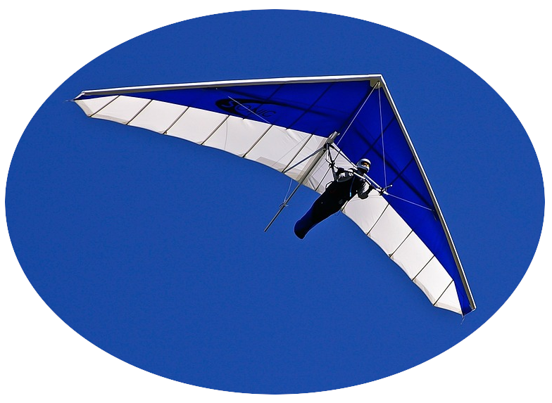
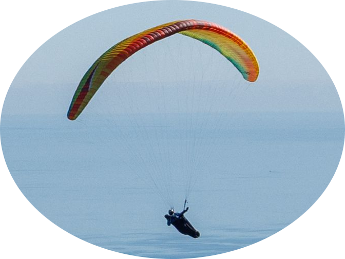
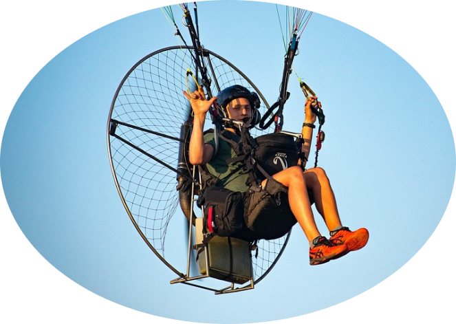
Sherry River
Sherry River is a light wind thermal site in the Sherry River Valley.
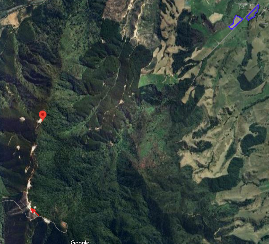
Location: Landings are on Orchard Creek Road
Elevation: 3087 feet AMSL (941 metres)
GPS co-ordinates for launch: -41.425954557759574, 172.67397796490204 Sherry River Launch
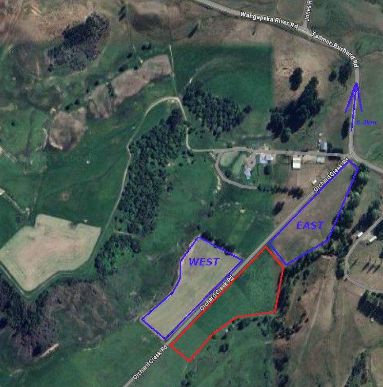
GPS co-ordinates for west landing: -41.41144882638199, 172.71191334052926 Sherry River West Landing
GPS co-ordinates for east landing: -41.41015123148145, 172.7149003112896 Sherry River East Landing
Rating
Paragliding: PG2
Hang gliding: NOV
Wind
NE-SE
Access Requirements
Launch is accessed via a 4WD forestry track through a locked gate, the key for the lock box is controlled. Drive along the Wangapeka River Road for 6.4km from the Tadmoor-Bushend Road - Orchard Creek intersection and turn left on to the forestry road.
Contact Geoff Profitt on 03 522 4583 the night before to arrange launch access.
Contact Bill Anglesey +6421704960 and Steve & Julie Campbell +6421541086 to arrange landing access.
Airspace
Uncontrolled (Class G – up to 9,500 ft).
Dangers
General Flying Guide
Landing Zone
There are two designated landing fields available, west and east. There are two landowners that require notification by txt the night before.
Landowners
Takeoff
Geoff Profitt 03 522 4583
East Landing
Bill Anglesey
+6421704960
West Landing
Steve & Julie Campbell
+6421541086
.

