Takaka
Takaka is a light wind thermal site in the Upper Takaka Valley. On really good days cross country flights to the south and north are possible.

Location: 1.5km from the summit of State Highway 60 as it traverses Takaka Hill.
Elevation: 2953 feet AMSL (900 metres)
GPS co-ordinates for launch: -41.02556827626293, 172.860851396251 Takaka Launch
GPS co-ordinates for landing: -41.0383538543176, 172.83453749735565 Takaka Landing
Rating
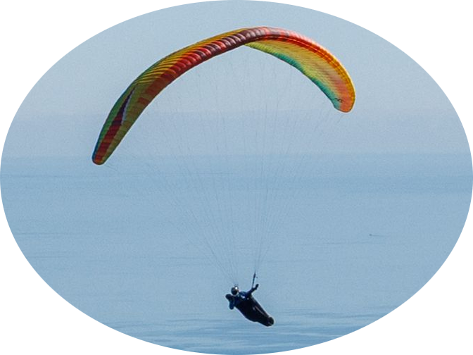
Paragliding: PG2
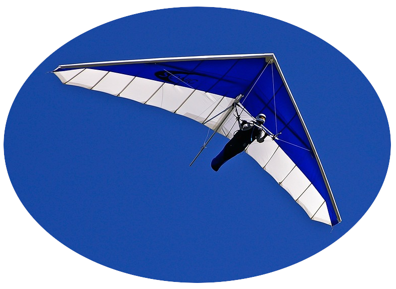
Hang gliding: NOV
Wind
SW-WSW
Access Requirements
Launch is accessed via a 2WD dirt track 200 metres on the right when descending from the Takaka Hill summit into Golden Bay. The track reaches launch after ascending this road for 1-1.5 km. Vehicles should be parked up to the fence in the airstrip field behind launch.
Airspace
Uncontrolled (Class G – up to 9,500 ft). There is a Mandatory Broadcast Zone (MBZ) around Motueka Airfield that extends into the Takaka/NorthWest Ranges foothills, so pilots may only go into this zone if using an aircraft band radio on frequency 123.7 and holding a pilot radio operator endorsement. This airfield is just 8.33 nautical miles SE of launch; therefore pilots must be careful if considering venturing anywhere in the direction of Tasman Bay/Motueka Valley.
Dangers
Particularly the launch, but to a lesser extent the normal landing site also is subject to thermic wind changes/dust devils and turbulence in summer/strong wind conditions, or with changes in predominant wind throughout the day. This can lead to conditions on launch ‘going tailwind’ suddenly and for indefinite periods.
There are power line hazards including one that is particularly difficult to identify in an area where pilots are likely to search for lift. Refer to site image and the red line extending from Harwoods Lookout on Hwy 60 up to Radio Masts in a single unsupported span of approximately 400 metres.
Particularly during the warmer months there is a sea breeze (anabatic valley wind) in the landing area. There may be wind streamers on landing area fences. The wind can often come from across or diagonally down the landing field. With a strong SW wind or towards evening a catabatic/SW wind can remain/return, which creates a particularly difficult ground effect situation for hang glider landings due to the downward (SW) sloping terrain. Other fields further towards Takaka present a safer hang glider landing option in these circumstances.
General Flying Guide
In winter the SW wind prevails but is usually stronger at Takaka than at other sites in the Nelson/Tasman region. In light and variable conditions, thermal activity may yield suitable periods to launch, particularly when solar heating of the hill side occurs around mid-afternoon. As a rule of thumb, in all other seasons flying conditions are often best in the morning. Particularly in the summer, advancing sea breezes may cause thermal activity to become broken up and extremely turbulent. Westerly and NW winds are also turbulent at this site.
Landing Zone
The main landing zone can be seen from launch. It comprises a very long field sometimes used by agricultural aircraft for aerial fertiliser spreading. At the northern end of this filed is another field often used for landing as well. Gates should be left as found but if unsure, or livestock are grazing in the landing field and a gate to the road is open, please shut and notify Nigel Harwood (027) 425 7004.
Landowners
The Harwood family. Over successive generations this family have supported our flying activities on their land. It is essential that pilots ensure problems are not created, and that if so, they are resolved and reported firstly to the THGPC Sites Officer or if unreachable then to another senior THGPC pilot immediately.